About This Product
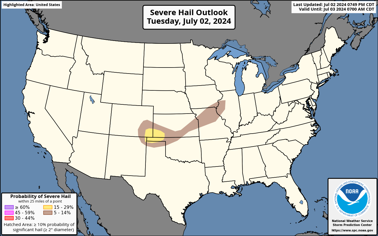
The Day 1 Severe Hail Outlook is issued as part of the Day 1 Severe Weather Outlook, issued by the National Weather Service's Storm Prediction Center twice daily in the early morning and afternoon. This map displays the expected probability of severe hail (at least 1 inch in diameter) within 25 miles of a point.
Hatched areas indicate the maximum potential hail size, should hail occur:
- Dashed-line hatching indicates some potential for very large hail (at least 2 inches in diameter).
- Solid hatching indicates a dangerous environment capable of producing giant hail (at least 3.5 inches in diameter).
These probabilities contribute to the categorical Day 1 Severe Weather Outlook in accordance with the Probabilistic to Categorical Outlook Conversion Table.